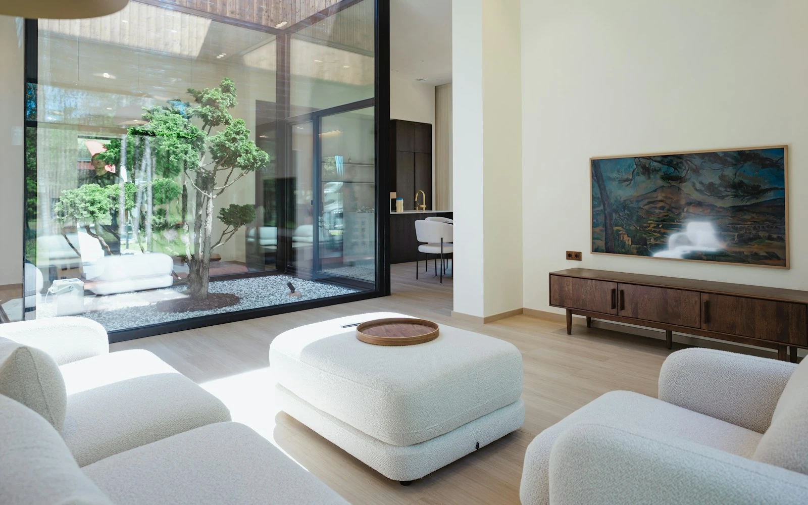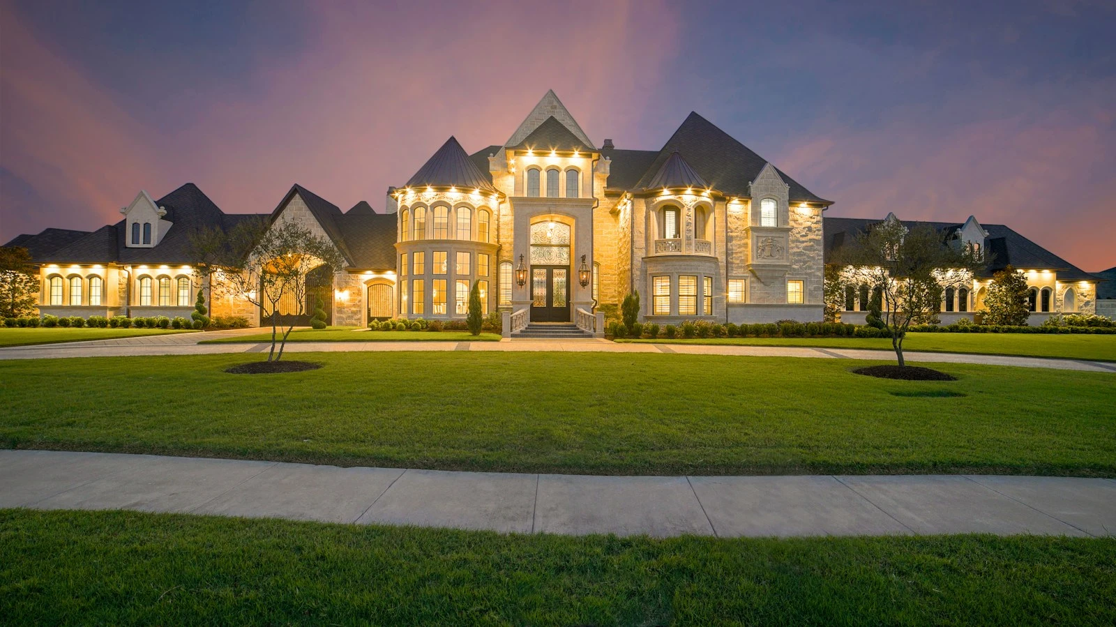
A development application is not a marketing exercise, and the imagery that wins a sales campaign is frequently the imagery that triggers a request for further information. Councils and design review panels are not assessing whether the building is attractive. They are assessing built form, amenity impact, overshadowing, view sharing and articulation against a planning scheme, and they need imagery they can verify.
Quick answer: A development application 3D render must be accurate, not promotional. Councils assess built form, amenity and impact on the street, so photomontages need verifiable context and a defensible method. Imagery that only persuades can trigger a request for further information (RFI) and delay the assessment.
A development application 3D render succeeds when an assessment officer, an objector and a surveyor can all interrogate it and reach the same conclusion. This article sets out what Australian councils and panels actually assess, what makes a photomontage defensible, the errors that reliably generate an RFI, and how to build a DA set that also serves funding and marketing later without being rebuilt.
>>> Learn more about 3D renders for property developers in Melbourne
Development application 3D render requirements: What a council is actually assessing
Planning schemes differ by state and by council, but the assessment questions are broadly consistent across Australian jurisdictions. Each one has an imagery deliverable that answers it directly.
| What the assessment tests | The output that answers it |
|---|---|
| Built form against setbacks and height controls | Survey-accurate massing with control envelopes overlaid |
| Streetscape and neighbourhood character | Eye-height photomontage from the opposite footpath |
| Overshadowing of neighbouring habitable rooms and open space | Shadow diagrams at the prescribed dates and hours |
| Solar access to the proposal itself | Sun path study through the assessed period |
| View sharing and visual impact | View analysis modelled from the affected property, not yours |
| Façade articulation, modulation and materiality | Detailed elevation renders at legible resolution |
| Landscape, deep soil and canopy provision | Landscape render with realistic species and mature dimensions |
| Amenity and internal layout quality | Typical floor plan visualisations and daylight studies |
Key insight: A DA render is an evidentiary document, not a persuasive one. Its job is to let an assessor verify a claim quickly. Imagery that cannot be verified slows assessment even when the proposal is sound.
What makes a town planning photomontage defensible
A photomontage that has been prepared properly can be checked by a third party and will hold. One that has not will be challenged, and the challenge costs months.
- Camera positions surveyed and recorded: Coordinates, height above ground and lens focal length documented for each view, so the montage can be reproduced.
- Real photography, not a rendered street: Base photographs taken from the recorded positions, on a documented date, in even light.
- The model registered to survey: The proposal placed using survey control points rather than eyeballed into the photograph.
- Eye height, not drone height: 1.6 metres from the footpath is what a person experiences and what a panel expects. Aerial views supplement, they do not substitute.
- No flattering lens: A wide lens that shrinks the building relative to its neighbours is the most common and most easily disproved manipulation.
- Existing and proposed from identical positions: Side by side, same camera, same conditions.
- A methodology statement: One page describing camera positions, dates, survey control and software. This is what turns imagery into evidence.
Shadow diagrams: The item most often done badly
Overshadowing is the amenity issue that generates the most objections in Australian residential assessment, and shadow diagrams are the deliverable most frequently produced from assumptions.
- True north from survey, not from a site plan: A site plan north arrow is frequently indicative. A few degrees of error changes the result at the boundary.
- Real site latitude: Sun geometry differs materially across Australian capitals, from roughly 12.5 degrees south in Darwin to about 42.9 degrees south in Hobart. A diagram prepared for one city is worthless in another.
- The dates and hours your scheme prescribes: Requirements vary by jurisdiction and by control. Confirm the assessed dates and hourly intervals with the relevant planning authority before production.
- Neighbouring habitable windows and open space identified: The diagram has to show the impact on the specific spaces the control protects, not a general shadow.
- Existing shadow shown as well as proposed: The incremental impact is what is assessed, and existing built form already casts shadow.
- Elevation shadow where a control requires it: Some controls test shadow on a neighbouring wall or window, not only on the ground.
What this means for your decision: Commission shadow diagrams from survey at the same time as the massing model, not as a late add-on. Rebuilding them after an RFI is the most avoidable delay in Australian DA assessment.
>>> Learn more about pre-construction visualisation and construction readiness
The DA render errors that reliably generate an RFI
Each of the following is common, avoidable, and reads to an assessor as an attempt to obscure something.
- Neighbouring buildings omitted or simplified to boxes: Context is the assessment. A proposal in an empty street cannot be assessed for character.
- Landscape shown at mature size on day one: Canopy trees rendered at twenty years while the planting schedule shows advanced stock. Show both if the control turns on canopy.
- Materials rendered more expensive than specified: If the palette shows stone and the schedule says render, the design excellence assessment is proceeding on a false premise.
- Balustrades and screening idealised: Privacy screening is an amenity control. Rendering it as invisible glass when the documentation shows solid changes the assessment.
- Views from positions no one occupies: A hero shot from mid-air over the neighbour’s roof does not answer any assessment question.
- Missing services and plant: Rooftop plant, substations, bin stores and driveway crossovers are all assessed and all frequently absent.
- No revision reference: Every image should carry the architectural revision it was produced from. Imagery that does not match the lodged drawings is a direct RFI.
Sequencing the DA set so it is reused, not rebuilt
The survey-accurate model built for a development application is the most expensive asset in the visualisation programme, and most developers pay for it more than once.
| Stage | Output | Reused later as |
|---|---|---|
| Pre-DA feasibility | Massing against control envelope | Base geometry for everything downstream |
| Pre-lodgement | Context model from survey and neighbouring built form | Marketing exterior context |
| Lodgement | Photomontages, shadow diagrams, view analysis | Funding pack exterior imagery |
| RFI response | Amended massing, revised shadow, additional views | Evidence of consent compliance |
| Post-consent | Detailed façade and materiality renders | Launch and display suite imagery |
| Pre-construction | Construction staging sequence | Construction management plan support |
Build the context model once, to survey accuracy, and label every output with its drawing revision. That single discipline removes most of the duplicated cost in Australian development visualisation.
Jurisdictional notes
The discipline is national. The controls are not, and the imagery has to answer the control that applies.
- New South Wales: Assessment via the NSW Planning Portal, with the Apartment Design Guide and SEPP 65 framework applying to residential flat development. Solar access, cross ventilation, communal open space and building separation are all assessed criteria that imagery can demonstrate.
- Victoria: Planning schemes administered under the Victoria Planning Provisions, with ResCode standards for residential development covering overshadowing, overlooking and street setback. Overlooking diagrams are frequently requested alongside shadow.
- Queensland: Assessment under the Planning Act framework with local planning schemes, and a strong emphasis on subtropical design outcomes, shading and cross ventilation in South East Queensland.
- South Australia and Western Australia: State planning policies with local variation. Confirm the assessed shadow dates and hours with the relevant authority in every case.
- All jurisdictions: Renders certify nothing. Planning consent, NCC 2022 compliance, NatHERS assessment, BASIX certification in NSW and engineering certification are separate processes verified independently.
>>> Learn more about architectural visualisation in Australia
What you supply for a defensible DA set
| Input | Why the assessment turns on it |
|---|---|
| Detail survey with levels, boundaries and true north | Every verifiable claim in the set depends on it |
| Neighbouring built form data | The single largest driver of montage credibility |
| Architectural set at the lodgement revision | Imagery that does not match the lodged drawings is an RFI |
| Confirmed planning controls and assessed shadow dates | Diagrams prepared to the wrong dates have to be redone |
| Landscape plan with species and stock size | Canopy and deep soil controls are assessed against it |
| Materials and finishes schedule | Design excellence assessment turns on the real palette |
| Base site photography from surveyed positions | Required for a reproducible photomontage |
How DX Living supports development applications
DX Living is a project control specialist firm that combines project planning with visualisation to de-risk residential projects before construction. For a DA that means a context model registered to survey, photomontages produced from recorded camera positions with a written methodology, shadow and overlooking diagrams built to the assessed dates for the relevant scheme, and every output labelled with the drawing revision it was produced from so the set matches what was lodged. The same model then carries into funding, launch and construction rather than being rebuilt. Immersive review runs through DX Studio, the wider capability set sits under DX Living modules, and delivered work is in the project collection.
DX Living is not a builder, a town planner or an architecture practice, and renders do not replace documentation, planning consent, engineering certification or building approval.
Conclusion
A development application 3D render is judged on whether it can be verified, not on how it looks. Register the model to survey, record the camera positions, build shadow diagrams to the dates your scheme actually prescribes, show the neighbours and the plant and the real materials, and label every image with its drawing revision. Done that way the set shortens assessment and then serves the funding pack and the launch. Done as marketing imagery, it generates the RFI that costs you a quarter.
Preparing a DA? Talk to DX Living about a planning visualisation package.
FAQs
What does a development application 3D render need to include?
At minimum: Survey-accurate massing with control envelopes, an eye-height streetscape photomontage from recorded camera positions, shadow diagrams at the dates and hours your planning scheme prescribes, view analysis from affected properties, façade renders at legible resolution showing the specified materials, and a landscape view consistent with the planting schedule.
Do councils require 3D renders for a DA in Australia?
Requirements vary by jurisdiction and by the scale of the application. Many councils and design review panels require photomontages and shadow diagrams for larger residential proposals, and most assess them where provided. Confirm the specific requirements with the responsible authority before commissioning.
What makes a town planning photomontage defensible?
Surveyed camera positions with recorded coordinates, height and focal length, real base photography from those positions, the model registered to survey control rather than eyeballed, eye-height views at 1.6 metres, existing and proposed from identical positions, and a written methodology statement describing how it was produced.
Why do shadow diagrams get rejected?
Most often because true north was taken from an indicative site plan rather than survey, the diagrams were prepared for the wrong dates or hourly intervals, existing shadow was not shown alongside proposed, or the affected habitable windows and private open space were not identified. All four are avoidable by confirming the control before production.
Can a DA render be used for marketing later?
The underlying survey-accurate model should be reused, which is where the cost sits. The imagery itself usually needs different treatment, because DA views are chosen to answer assessment questions and marketing views are chosen to answer buyer questions. Build the model once and re-render.
Does a render prove planning compliance?
No. Renders and photomontages support assessment by making built form and amenity impact legible. Planning consent, NCC 2022 compliance, NatHERS assessment, BASIX certification in New South Wales and engineering certification are separate processes verified independently, and every deliverable should say so.
How long before lodgement should DA imagery be commissioned?
Allow time for survey, base photography and two review rounds after the architectural set reaches lodgement revision. Commissioning imagery before the drawings settle guarantees a rebuild, and commissioning it in the final fortnight guarantees an error that becomes an RFI.
References
- NSW Government. Planning Portal, development applications.
- NSW Department of Planning. Apartment Design Guide.
- Victorian Government. Planning schemes and permits.
- Queensland Government. Planning Act framework and development assessment.
- Australian Building Codes Board. National Construction Code 2022.
- NSW Government. BASIX building sustainability index.
- Nationwide House Energy Rating Scheme. Star ratings and Whole of Home.
- Australian Government. Your Home, orientation and passive design.
Recent Articles
The pre-contract checklist: 18 things to confirm before you sign with a builder
Planning a home cinema in Australia: What drives the cost and how to review it in VR first